Objective: Summit Mount Shasta via Casaval Ridge, snowboard descent via Avalanche Gulch
Date: May 12-13, 2014
Location: Mount Shasta, California, USA
Team: Sara & Connor
We arrived at the Bunny Flat trailhead Monday evening around 7pm. We had just enough time to catch some beautiful evening light on the mountain, set up camp, eat our fill, and try to catch some sleep before the rude awakening of the 1am alarm. We even spotted a lil black bear tryin to steal our dinner.
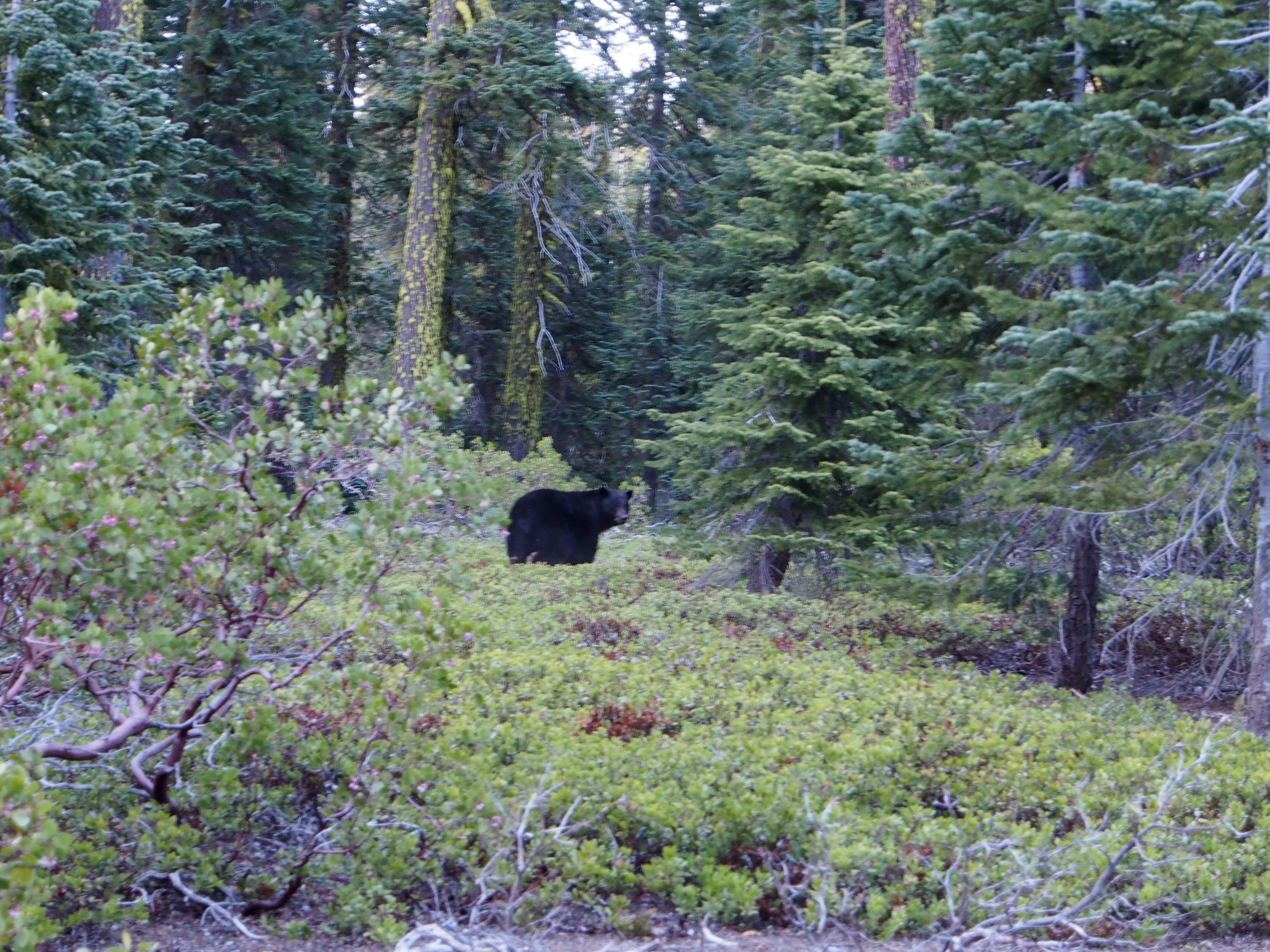
Raaawr!
Here comes the sun…
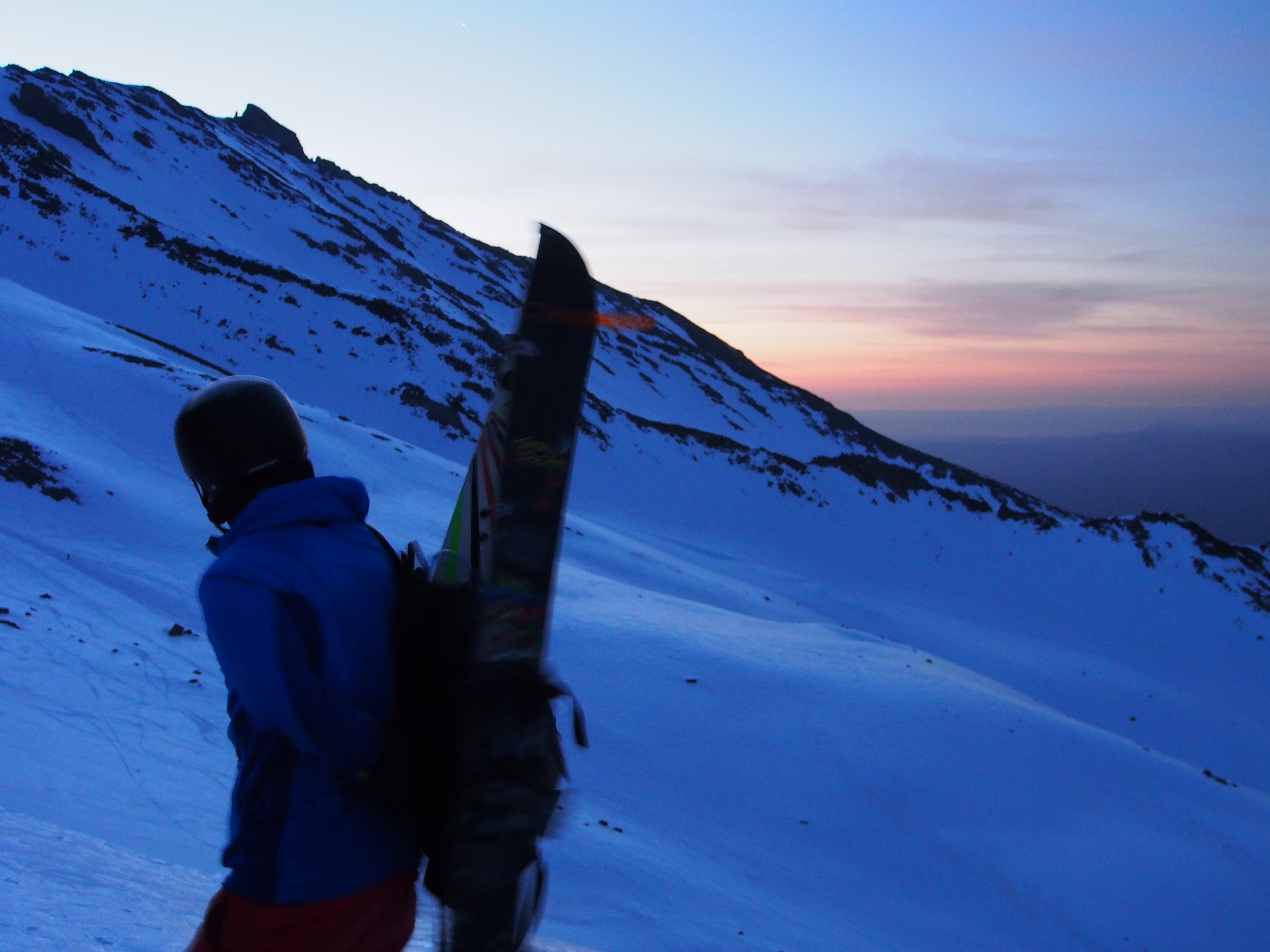
After a few hours of rest, we got up at 1am and left the car just after 2am headed for Horse Camp. Continuous snow started about 20 minutes from the trailhead. Somehow we managed to miss Horse Camp (or we walked by it and just didn’t know) and ended up gaining Casaval Ridge around 9,800 ft (quite a ways above where we’d planned).
View up the ridge route

Shadow of the mountain
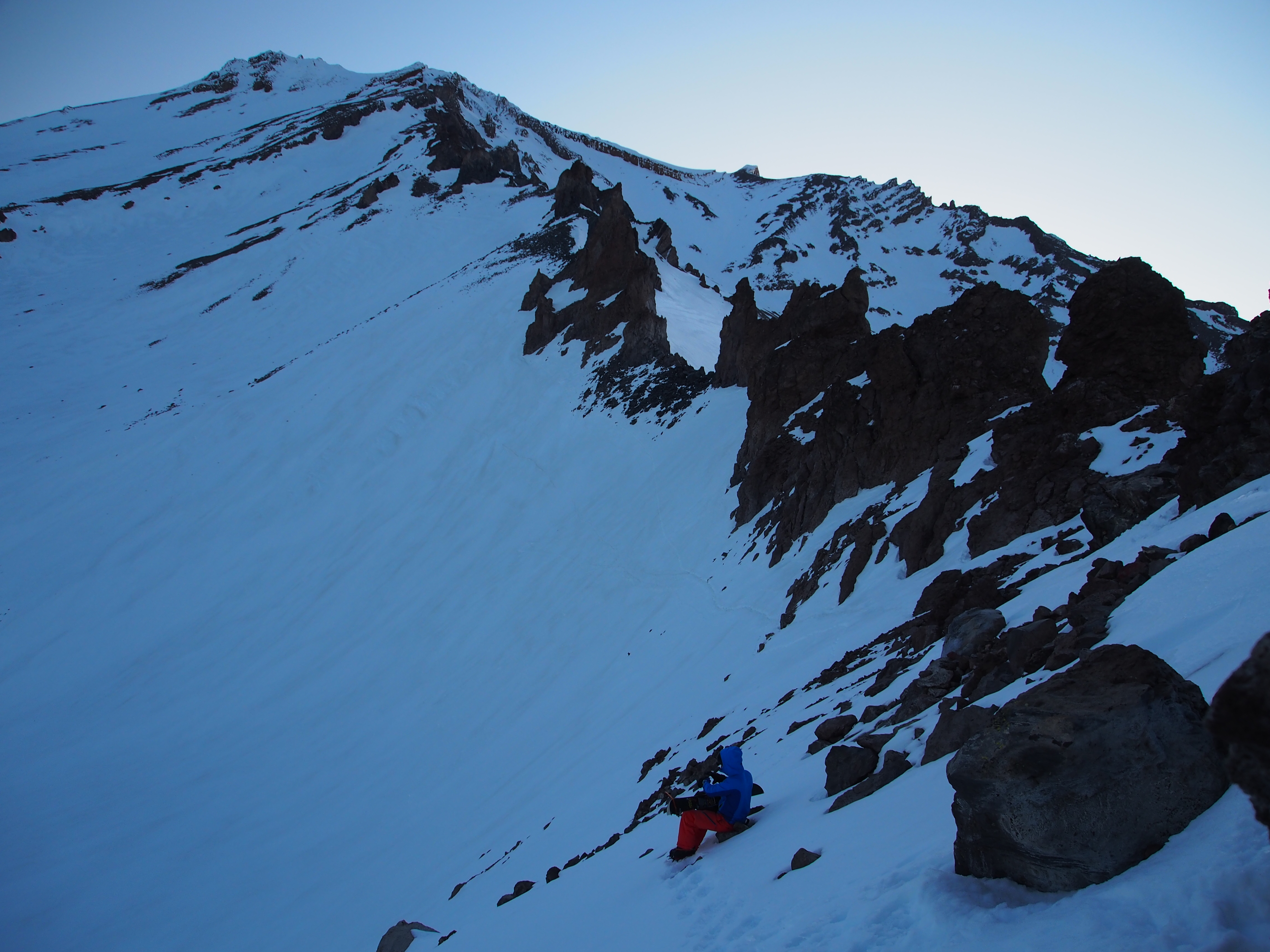
We got tricked into following a bootpack onto the west face rather than staying on the ridge route, so we had to head up a steep icy face to regain the ridge.

Connor navigates a sketchy section – seemed like there was some slide potential here

Awesome red rock faces abound
It heated up FAST once the sun was on us, although we lucked out with clear skies and hardly any wind. We did most of the upper climb in t-shirts with lots of sunscreen. Made the summit around 1pm and enjoyed one hell of a nice view.

Connor charges misery hill

Lone climber on the avalanche gulch route

Summit pup!
After a quick snack & hydration break, we dropped down the east side of misery hill and traversed toward the red banks. This section was a bit icy, but it softened up quickly and turned to perfect corn. We ended up on the skiers left side of the red banks and had to find our way through the chutes we hadn’t scoped on the way up. We managed to find a decent route through without too much trouble and then it was wide open for 4,000ft+.
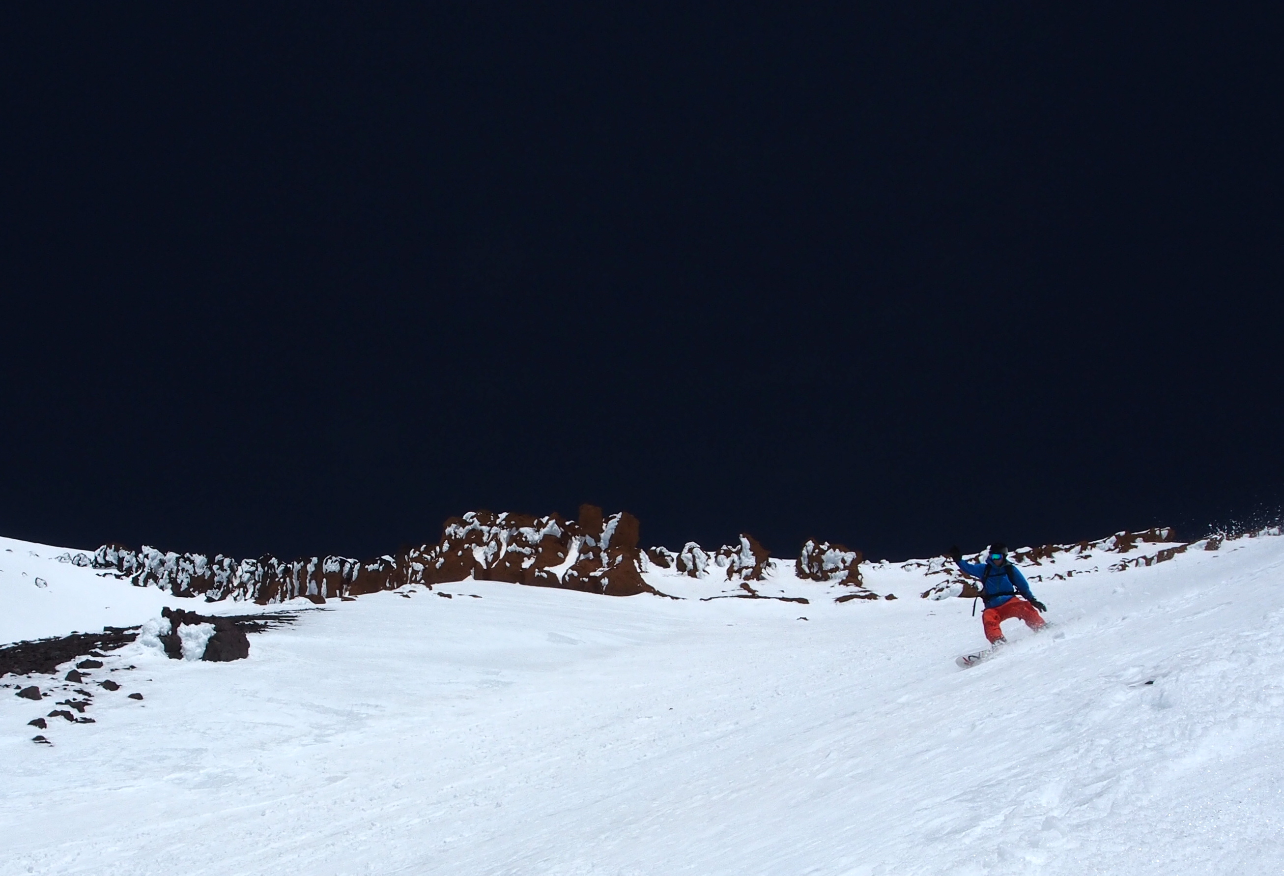
Connor crushes corn

Excellent view for the ride
Made it back to the car around 3pm. The ride down was fabulous. Mission accomplished, and then some.
Mission Review:
![]() : We had some route finding issues. We missed horse camp, which caused us to gain the ridge later and higher than planned. Then we made the mistake of following a more established bootpack onto the west face, rather than sticking to the ridge (where there was not much of a bootpack). This snafu lead to us climbing up a steep and rather dangerous icy face to get back onto the ridge (serious no-fall zone). On the plus side, because of our error we avoided the infamous catwalk section. Lessons learned: do more pre-climb route study and bring GPS.
: We had some route finding issues. We missed horse camp, which caused us to gain the ridge later and higher than planned. Then we made the mistake of following a more established bootpack onto the west face, rather than sticking to the ridge (where there was not much of a bootpack). This snafu lead to us climbing up a steep and rather dangerous icy face to get back onto the ridge (serious no-fall zone). On the plus side, because of our error we avoided the infamous catwalk section. Lessons learned: do more pre-climb route study and bring GPS.
![]() : The weather was just about perfect: no wind with clear night and daytime skies. Prime corn snow for the descent. Doesn’t get better than that. Our timing was pretty good, although we were a bit slower than we thought we’d be… And because we did it midweek, there were only a few other climbers on the mountain. The route, at least while we were on the correct route, was fabulous. Highly recommended.
: The weather was just about perfect: no wind with clear night and daytime skies. Prime corn snow for the descent. Doesn’t get better than that. Our timing was pretty good, although we were a bit slower than we thought we’d be… And because we did it midweek, there were only a few other climbers on the mountain. The route, at least while we were on the correct route, was fabulous. Highly recommended.
